

Description
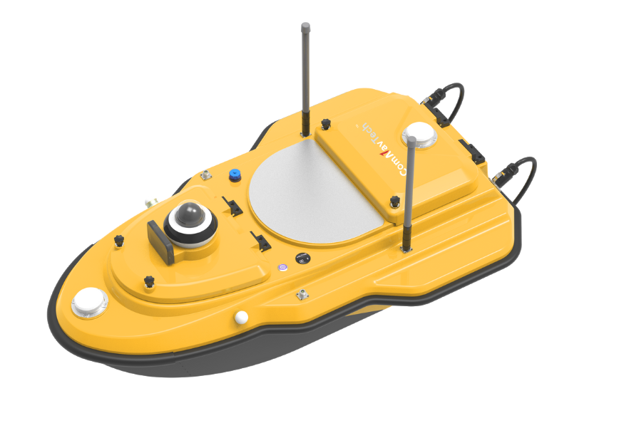
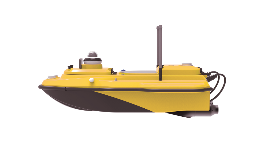
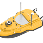
The SV600 USV (Unmanned Surface Vessel) is a compact, high-precision survey boat engineered for hydrographic surveying and water-based data collection. Built with a carbon-fiber trimaran hull and packed with advanced technology, the SV600 offers exceptional durability, precision, and autonomous operation—making it an ideal solution for mapping professionals, marine surveyors, and environmental researchers.
Designed to perform reliably in rivers, lakes, reservoirs, and coastal areas, the SV600 is capable of collecting data in GNSS-denied environments and challenging water conditions.
Key Features
-
Dual GNSS + IMU Positioning
The SV600 integrates full-constellation GNSS with an Inertial Measurement Unit (IMU) for continuous, high-accuracy positioning even in areas with weak satellite signals. -
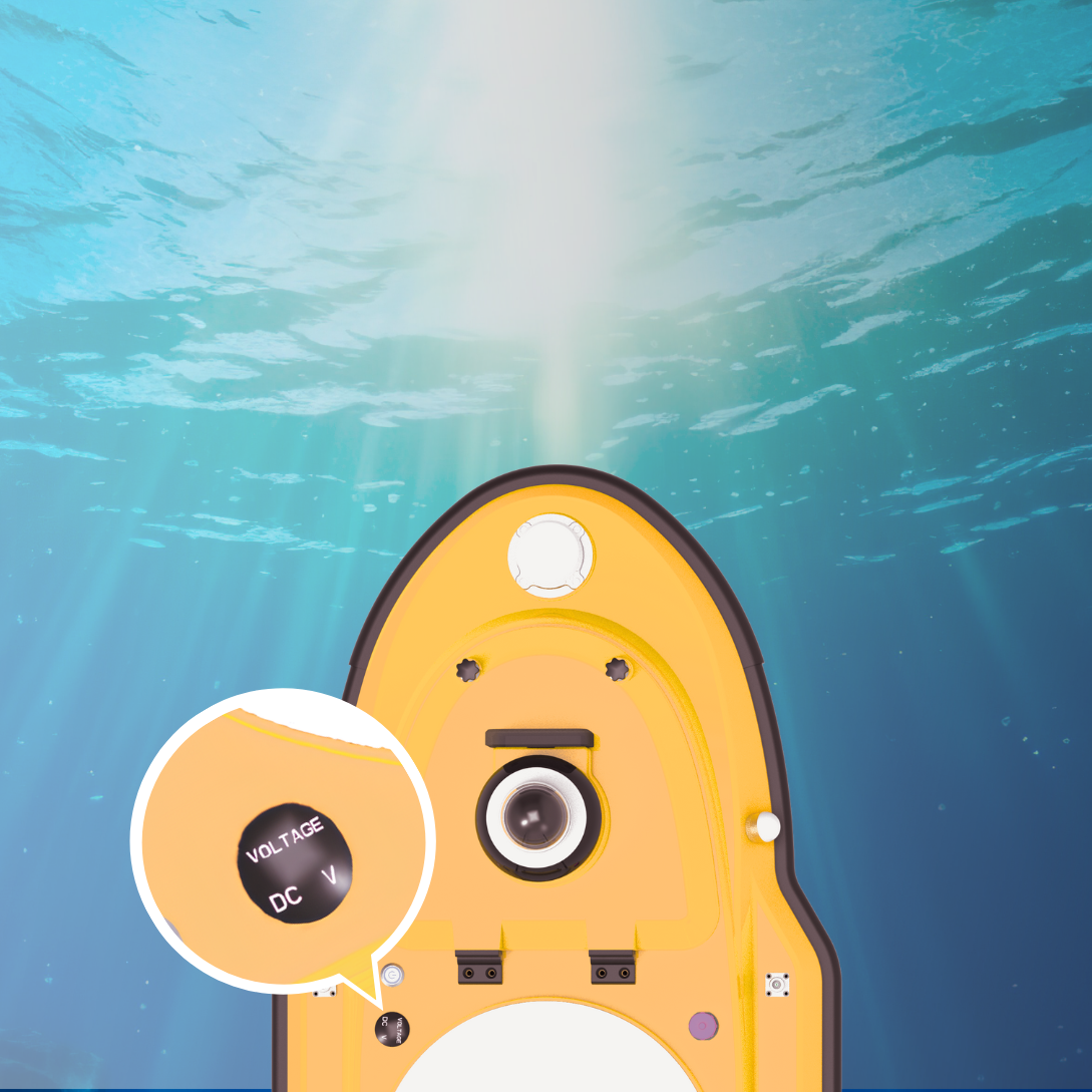
Compact & Durable Hull Design
Its carbon-fiber composite trimaran hull is IP67-rated, lightweight, and resistant to water, corrosion, and impact—providing excellent buoyancy and stability in rough waters. -
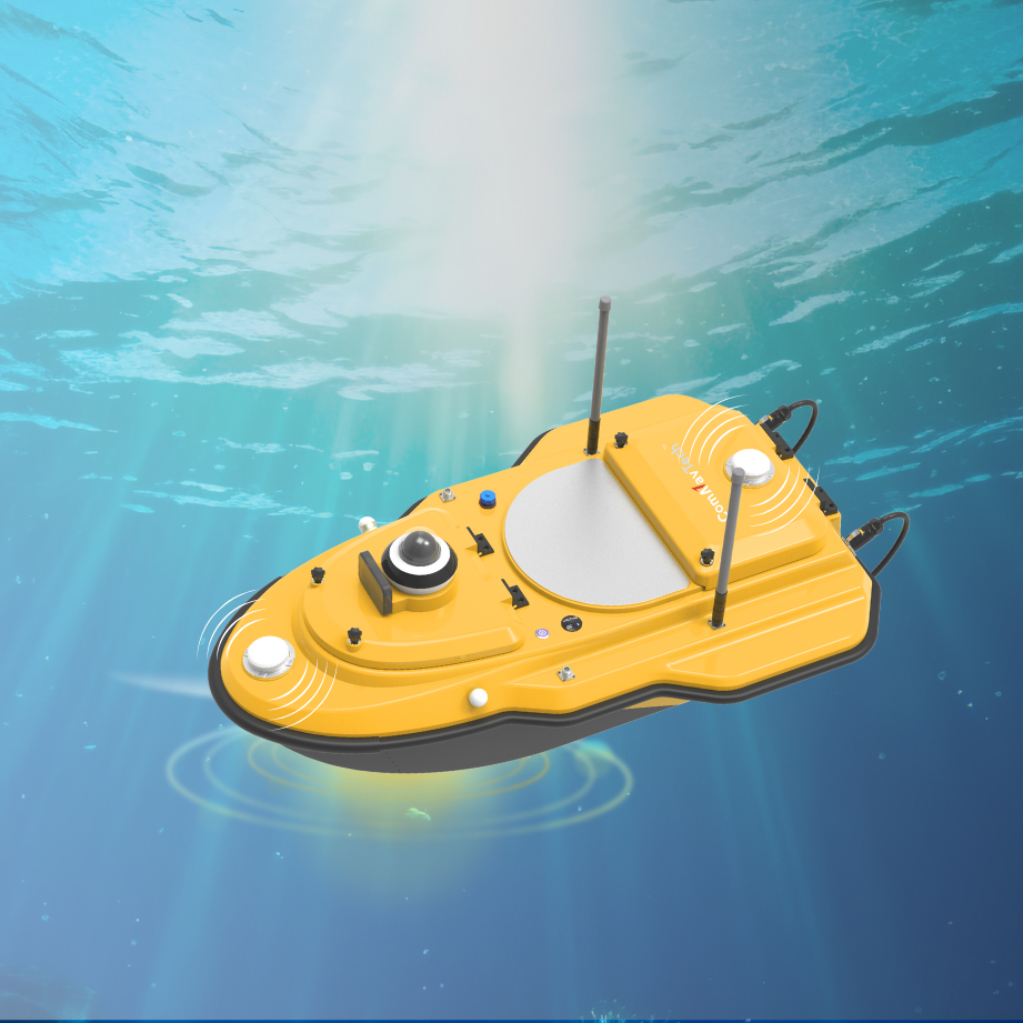
Advanced Obstacle Avoidance
Equipped with a millimeter-wave radar and a 360° night vision camera, the SV600 can detect and avoid obstacles automatically, ensuring safe and reliable missions day or night. -
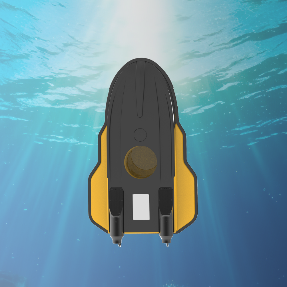
Dual Moon Pool Payload System
Supports up to 42 kg of payload, allowing simultaneous integration of sensors like:-
ADCPs (Acoustic Doppler Current Profilers)
-
Single-beam or multi-beam echo sounders
-
Side-scan sonar
-
Water quality sensors
-
Sub-bottom profilers
-
-
Flexible Communication Options
Operates via 4G, network bridge, or radio control with a range of up to 2.5 km. Built-in eSIM/SIM support enables flexible deployment. -
Powerful Propulsion & Long Endurance
Powered by a brushless DC motor and a 33V 50Ah lithium-ion battery, the SV600 offers up to 5.5 hours of runtime at 2 m/s.
Intelligent Remote Control
The vessel comes with a smart handheld controller featuring a 7.2-inch (or 9.2-inch) screen for live video feed, real-time system monitoring, mission control, and emergency return. Operators can perform manual or fully autonomous operations with high situational awareness.
Software Integration
-
SNPilot
Linux-based ground control software that allows for waypoint planning, auto-return setup, and real-time monitoring of vessel status, sounding data, and trajectory. -
EchoSurvey
Powerful post-processing software offering data replay, tide correction, waveform overlay, and export of final deliverables in multiple GIS formats.
Technical Specifications (Summary)
| Specification | Detail |
|---|---|
| Dimensions | 1.18 m × 0.7 m × 0.39 m |
| Weight | ≈ 24 kg (without battery) |
| Draft | 9 cm |
| Payload Capacity | Up to 42 kg |
| Battery | 33V 50Ah Lithium-Ion |
| Endurance | ~5.5 hours at 2 m/s |
| Communication Range | Up to 2.5 km |
| Positioning Accuracy | RTK: ±8 mm + 1 ppm; Heading: ±0.15° |
| Obstacle Detection | Millimeter-wave radar + 360° camera |
| Protection | IP67 (dustproof and waterproof) |
Applications
-
Hydrographic mapping
-
Harbor inspection
-
Reservoir & riverbed analysis
-
Environmental monitoring
-
Dredging support
-
Port and coastal surveys
Why Choose the SV600?
Whether you’re surveying inland waterways or performing complex multi-sensor marine mapping, the SV600 delivers top-tier reliability, precision, and versatility in a portable form factor. Its robust design and smart automation tools make hydrographic surveys more efficient, safe, and cost-effective.
Reviews
There are no reviews yet.